

Old Dominion University
Best Practices for Planting Desired Coastal Vegetation Species
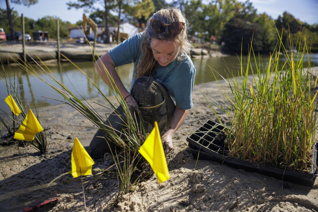
Research Tasks
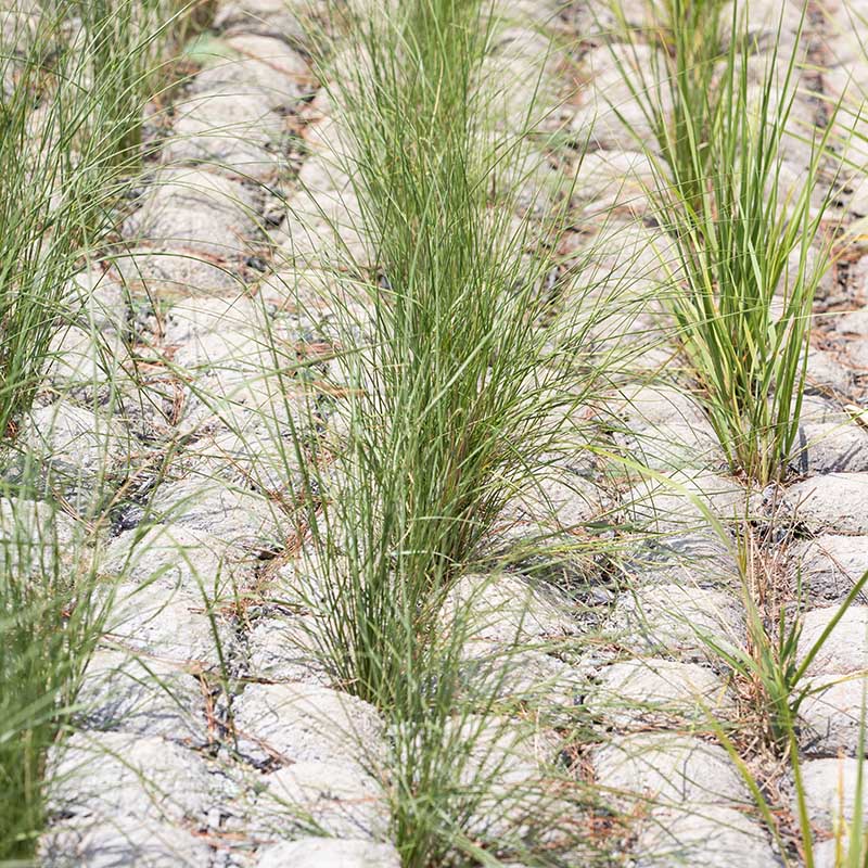
- Compare planting strategies (standard spacing of transplants vs. high-density spacing of transplants vs. donor-marsh transplants) in terms of plant survival and marsh expansion over at least one growing season.
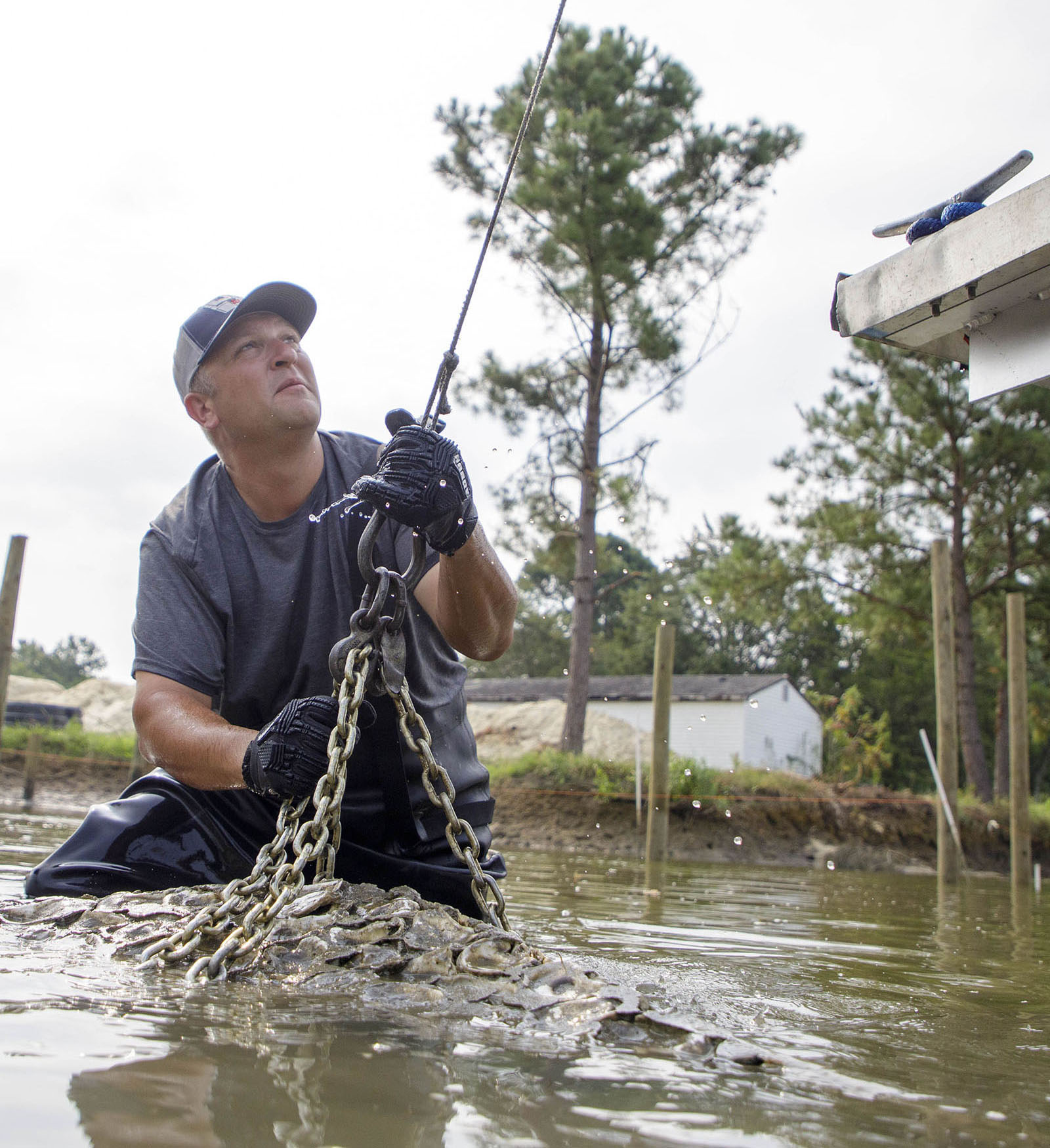
- Examine sustainability of marsh transplant removal intensities in donor marsh locations to determine best practices for obtaining marsh transplant materials while minimizing damages to existing marsh.
- Monitoring of plant survival, vegetation density, and species richness both pre- and post-construction, and the following growing season.
Anticipated Outcomes
The anticipated outcomes from these tasks include data on plant survival, lateral expansion (area of vegetated cover), plant performance (stem density, height, overall plant vigor), and below-ground biomass production that can be used to assess the impact of planting strategy on marsh revegetation, turbidity and wave attenuation. Transplant donor marsh locations will be monitored for recovery of above- and below-ground parameters (below-ground biomass, stem density, sediment physiochemistry, elevation) to determine the suitability for the practice of marsh transplanting and the speed of reference marsh recovery.